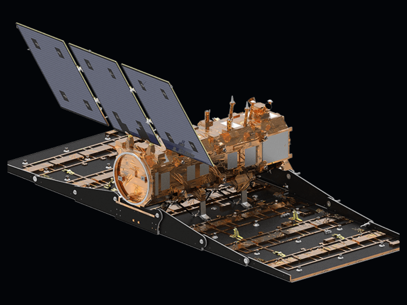
A team of scientists, which also included Carlos López-Martínez Prof. of the UPC, has drawn on SAOCOM data to measure the heights of forests in Argentina
14/03/2024
Font: The European Space Agency
A team of scientists has drawn on SAOCOM data to measure the heights of forests in Argentina, marking the first time that tree canopies have been mapped using the two-satellite constellation. The research team also included Carlos López-Martínez of the Polytechnic University of Catalonia
This breakthrough study – published in IEEE Xplore – highlights the huge potential of SAOCOM for empowering innovative applications of L-band synthetic aperture radar (SAR) data.
The unique constellation is owned by Argentina's space agency (CONAE) and is part of ESA’s Third Party Missions programme. It occupies a sun-synchronous polar orbit and supplies data to support a wide range of applications – from disaster responses to Antarctic science.

Comparteix: